
Decatur Neighbor Records by Source
A Decatur neighbor lookup is strongest when each source is used for the fact it actually records. County GIS maps show parcel geometry. Revenue records identify the assessed owner and may show a separate mailing address. The state voter system confirms one known voter, while a requested voter file has strict limits. Historic districts map notable buildings, not households. Neighborhood Watch keeps its membership private by design.
| Block source | Useful block detail | How to reach it |
|---|---|---|
| Morgan Revenue GIS and Capture CAMA | Parcel shape, parcel number, assessed owner, and property address | Free map and owner, address, or parcel search |
| Limestone parcel GIS and Citizen Access | Owner parcels, subdivisions, lot or block context, values, buildings, and tax map | Free Find or Identify map tools plus Name, Parcel Number, or Address mode |
| Decatur GIS | County, ZIP, zoning, flood, police, census, and school context | City layer guide and map services |
| Alabama voter records | Individual registration confirmation or restricted file fields | VoterView for one known voter; formal state-file request for authorized use |
| Historic and civic sources | District geography and public organization contacts | City preservation files, Chamber directory, or direct group contact |
None is a full household roster. An assessed owner may live elsewhere, and a mailing address may only receive tax notices. A registered voter record is dated evidence, not proof of every current resident. Keep the source, tax year, and retrieval date beside any note so later updates do not get mistaken for contradictions.
Place Decatur Neighbors by County
Decatur spans Morgan and Limestone counties. Most blocks lie in Morgan, but incorporated land reaches north and northeast into Limestone. A Decatur mailing address alone does not select the correct parcel office. Start with the Decatur GIS layer guide and turn on the County Boundary layer. ZIP, zoning, flood, police-zone, and school layers can add context, but the county line determines which Revenue system holds the parcel.
Use Morgan Revenue GIS and Capture CAMA for a Morgan parcel. A Limestone-side address belongs in Limestone Citizen Access and its official ArcGIS service. This two-county split is the key geography behind Decatur neighbors records. Hartselle, Tanner, or Trinity may appear as a preferred postal city near annexed or fringe parcels, while the land still sits within Decatur's corporate area. USPS names mail. GIS shows jurisdiction.
Note: Save the county-boundary result before copying parcel facts, since the wrong county portal may simply return no match.
Map a Decatur Block Outward
The immediate block is best built by clicking, not by assuming a broad radius tool exists. Research did not verify a public buffer control in either county viewer. Begin with one parcel polygon, then distinguish an adjoining parcel that shares a boundary from a nearby parcel across the street. For a practical block view, inspect both street faces and the corner parcels on each cross street.
- Find the target address in Morgan Revenue GIS or the Limestone parcel service. Record the county, parcel number, and property address.
- Click each polygon that touches the target. Then pan across the road and toward both cross streets to define the working block.
- Transfer each parcel number to Capture CAMA or Limestone Citizen Access. Record the assessed owner exactly as indexed and keep the owner mailing line separate from the physical address.
- Use subdivision, lot, block, and deed book or page fields only when displayed. Blank fields stay blank, and assessment data never proves who occupies a home.
This flow is narrow on purpose: address to map, map to parcel, parcel to assessed owner. A homestead exemption may support owner occupancy, but it still cannot list a spouse, child, roommate, or renter. For a full named-road chain, use the Decatur street directory rather than stretching the block method beyond its scope.
Limestone Neighbor Map Details
Limestone's official service metadata exposes unusually useful parcel fields for north-side Decatur blocks. The schema includes parcel number, record year, two owner-name lines, owner mailing lines, property address, neighborhood, assessment class, subdivision, lot and block, acreage, values, and deed book or page references. Public popup screens may show fewer fields, so report only what the live result presents.
- Property or situs address
- The physical location of the parcel.
- Owner mailing address
- The destination for tax correspondence, which may be a post office box or another city.
- Parcel number
- The county's identifier for the mapped tax parcel.
- Subdivision and lot
- Recorded land divisions that can be more stable than a casual neighborhood name.
The service can return up to 2,000 results through its query operations, but that limit is not a reason to export a wide area. A careful neighbor search stays with the immediate polygons and records the year attached to the assessment. This prevents a large county dataset from being treated as a current Decatur resident list.
Decatur Community Directory Limits
Decatur has clear place identities, yet public membership directories are scarce. Official sources recognize Old Decatur, Albany or New Decatur, East and West Old Town, and Delano Park. Other locally used names include Austinville, Moulton Heights, Westmead, Flint, Burningtree, Cedar Lake, Indian Hills, Bayside, and Point Mallard. These labels help describe an area. They do not prove that a resident belongs to an association.
| Community source | What the public can get | What remains private |
|---|---|---|
| Old Decatur and Albany preservation records | District boundaries and property inventories | A current resident or member roster |
| Decatur Neighborhood Watch | Program guidance and police coordinator contact | Cell membership and private social pages |
| Decatur Morgan Chamber | Public organizations and business contacts | Household identities behind each group |
| Probate land records | Covenants, plats, and some association filings | A presumed current homeowner list |
The Decatur Morgan Chamber directory is a useful route to a civic organization or public group contact.
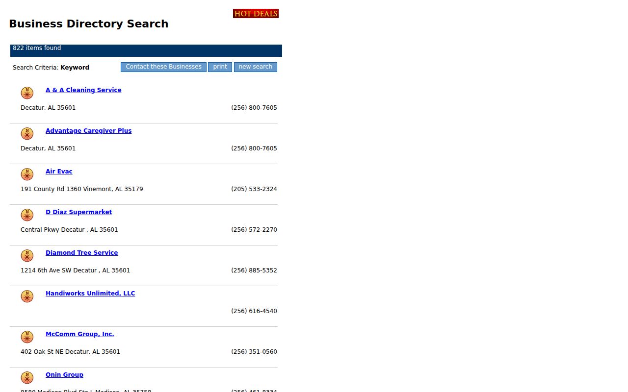
The captured directory shows an organization-search surface, not a resident roll. Contact a group through its public channel instead of treating business listings as the names of nearby households.
Decatur Neighbor Watch Stays Private
The Decatur Police Department organizes Neighborhood Watch in small cells of about 10 to 15 homes. A coordinator contacts households, arranges a Safety Education meeting, welcomes newcomers, and maintains private social pages. Sgt. Chance Sparks is the program contact at 256-341-4660. The missing public roster is not a data gap. It is a privacy choice that lets neighbors coordinate without publishing who takes part.
Historic district files work the same way in another sense. They document structures, boundaries, and preservation review. They do not create a social directory. Delano Park's history and the Conservancy's public organizational listing can identify a group contact, while Old Decatur and Albany overlay material can establish geography. Neither source should be converted into claims about who currently lives nearby.
Note: Search an association's recorded subdivision name in Probate records before assuming a casual neighborhood label identifies a formal homeowners' group.
Decatur Voter Data Is Restricted
Alabama's VoterView is an individual confirmation tool. It is not a browse-by-street directory for Decatur neighbors. A formal electronic voter-file request can include residence and mailing address fields, status, districts, and participation history. It may be narrowed by county, city, or district, but the requester must follow the Secretary of State's procedure.
Effective June 1, 2026, Ala. Code § 17-4-38 caps an electronic list at $1,000 and bars sale, publication, or commercial use outside statutory exceptions. Protected-voter data, Social Security and driver-license numbers, email, and non-release phone fields stay withheld. Ala. Code § 17-4-33 also protects specified voter addresses. Registration history shows elections in which a person participated, never a ballot choice.
That distinction matters. An authorized recipient may be able to sort lawful file data by street or ZIP, but may not publish a named block roster. For an ordinary personal check, use the Alabama Votes tools only for yourself or a known voter, and send corrections to the proper Morgan or Limestone Board of Registrars.
Official Decatur Records Need Labels
Official rolls and commercial neighbor tools answer different questions. County data is tied to a custodian, tax year, and defined record type. A commercial result may blend stale addresses, phone data, and inferred relationships without showing the date or source. Neither type should be treated as a live household census.
| Feature | Official Decatur-area roll | Commercial neighbor tool |
|---|---|---|
| Source trail | Named county or state custodian | May combine several undisclosed feeds |
| Meaning | Assessed owner, registrant, case party, or other defined role | Often presents a broad person match |
| Correction | Contact the office holding the record | Use the provider's privacy or correction route |
| Best use | Verify a dated parcel or official status | Possible clue that still needs official confirmation |
Public safety records require the same care. The Morgan County Sheriff's roster choices separate current inmates from a recent release view.
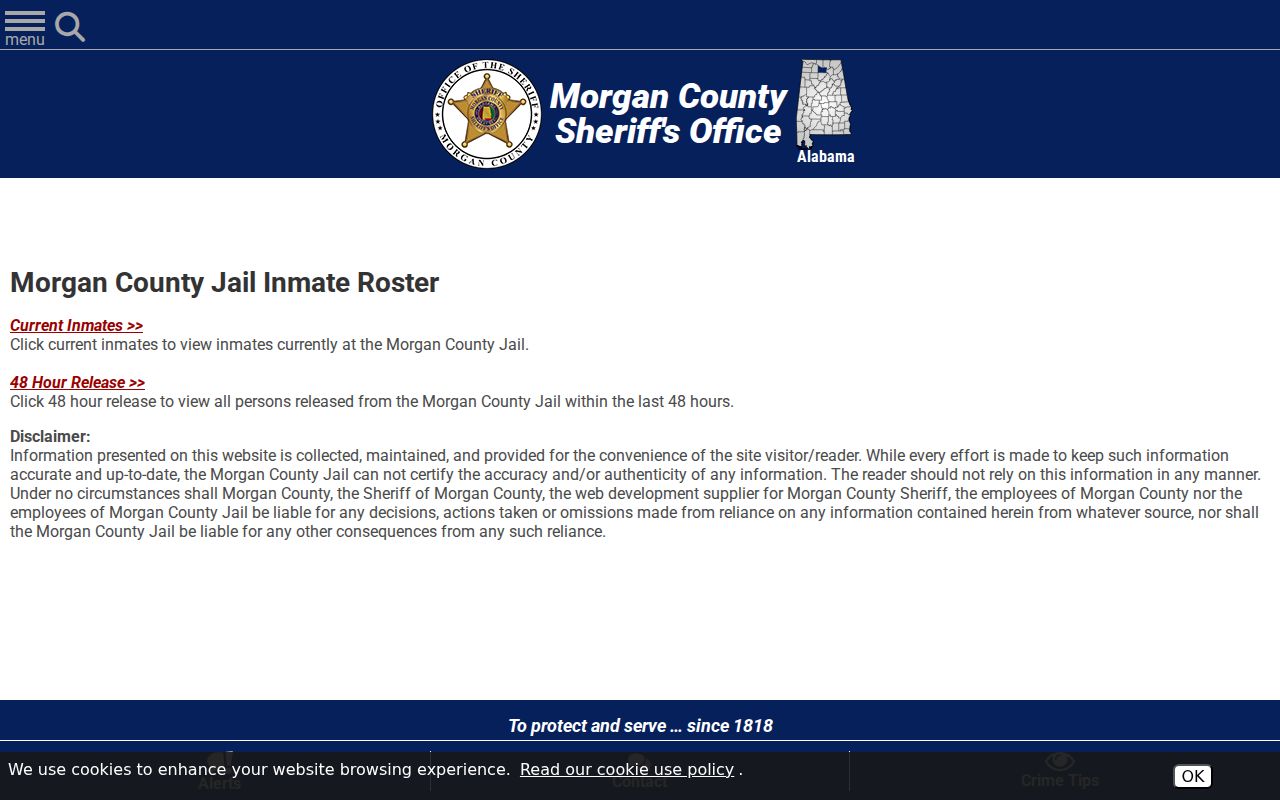
A booking is custody information, not proof of guilt, a home address, or present neighborhood residence. The searchable roster itself offers name and status controls.
The Morgan searchable jail roster is the official county route for that limited question.
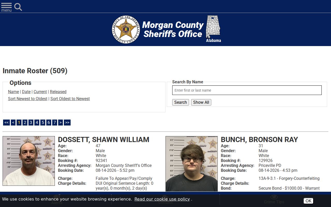
Its records can include booking, charge, bond, agency, and release details. They should never be recast as a block directory. The statewide offender registry is also a purpose-built safety record.
The Alabama Law Enforcement Agency Community Information Center supplies the official registry entry point.
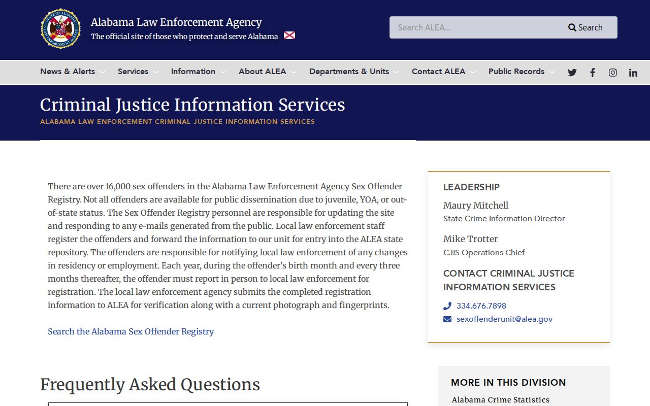
Use its live terms and map with care. Registry status is a legal category, not a general description of a person or household.
Privacy Boundaries for Decatur Neighbors
Public parcel lines stop well short of a household list. Renters, relatives, roommates, children, utility customers, delivery recipients, congregation members, and watch participants are not exposed simply because an address is known. A post office box is a mailing destination, not a nearby home. Decatur's 35602 and 35609 codes are PO-box routes and do not form residential neighbor sequences.
Alabama uses record-specific safeguards rather than a verified universal substitute-address program. Protection-order records omit specified plaintiff, family, and shelter addresses under Ala. Code § 30-5-5. Voter rules withhold protected addresses. Federal law restricts DMV personal information. If a source accidentally shows a Social Security number, full birth date, victim detail, minor's identity, or protected address, do not copy or share it.
Lawful use. Decatur neighbor records support civic curiosity, reconnecting, and personal safety. Alabama law prohibits stalking, harassment, threats, and misuse of protected data.
Verify each fact with its custodian and label the role precisely. "Assessed owner" is not "current occupant." "Registered voter" is not "everyone at the address." A careful neighbor lookup respects those differences and stops when the record stops.