
Decatur ZIP Directory Coverage
Decatur has two standard street-delivery codes, two PO box codes, and one unique code. That mix makes the Decatur postal directory more than a list of five numbers. The standard areas provide a practical first cut through central, northern, eastern, southern, and southwestern Decatur. The other codes describe mail handling, not a set of homes. Preferred postal names at the edge add another layer. Hartselle, Tanner, and Trinity labels may appear on annexed or fringe parcels even when local records place the land in Decatur.
| ZIP | Decatur Area | Postal Route | Search Note |
|---|---|---|---|
| 35601 | Central, north, and east; downtown, Old Decatur, Albany, Austinville, and established areas near Beltline | Decatur Post Office, 400 Well Street NE | Verify the city and county for each address |
| 35603 | Southwest and south; newer growth near Modaus, Danville, Chapel Hill, and Priceville roads | Standard street delivery | The postal edge does not match the city line |
| 35602 | No residential area | PO boxes routed through Decatur | Cannot form a street-neighbor list |
| 35609 | No residential area | PO boxes routed through Decatur | May appear as an owner's mailing address |
| 35699 | No ordinary residential area | Unique ZIP | Current assignee was not verified |
| 35640, 35671, 35673 | Hartselle, Tanner, and Trinity fringe or annexed areas | Nearby preferred postal names | Check Decatur GIS before choosing a custodian |
A postal match does not prove residence. It also does not prove that an address is within Decatur. The table is a search key: use it to sort addresses, then verify each parcel against a public boundary and county source.
Decatur Delivery Areas 35601 and 35603
Most residential work in the Decatur postal search starts with 35601 or 35603. The first is a useful shorthand for downtown and older north, central, and east sections. The second is a useful shorthand for the city's south and southwest growth. Neither is a fixed civic district. School zones, council wards, police zones, voting precincts, parcel lines, and county lines were drawn for other purposes.
Use the shorthand with care. A 35601 result may include a delivery outside the incorporated city or a parcel whose record custodian differs from the one expected. A 35603 address may fall in a tract whose parcel, voting, or service geography does not follow the postal edge. No official local per-ZIP resident or voter count was found. Census ZCTAs also approximate postal geography rather than reproducing live USPS routes, so the city's population should not be divided between these codes by guesswork.
Note: Label any total based on ZIP geography as a postal aggregation, not a count of Decatur city residents.
Three Unusual Decatur Postal Codes
Three entries break the common idea that every postal code marks a neighborhood. Codes 35602 and 35609 route PO box mail through Decatur facilities. They have no sound residential boundary, parcel population, or sequence of nearby homes. Code 35699 is a unique ZIP rather than ordinary residential delivery. The research did not verify its current assignee, so no institution or neighborhood should be attached to it.
This quirk changes how a Decatur postal directory is searched. A PO box can appear in the owner-mailing field on a tax record while the actual parcel, called the situs, lies in a different ZIP or even another county. The box reveals a destination for correspondence. It does not show who occupies the property or which homes stand nearby. A unique code has the same basic limit: it identifies special postal handling, not a group of resident addresses.
Key distinction. A Decatur PO box is a mail contact, not proof that its holder lives inside Decatur or near the postal facility.
Search Decatur Residents by ZIP
No verified Decatur assessor or voter portal offered a public ZIP-wide filter during research. The reliable method moves from a known address to its ZIP and jurisdiction, then into the correct official roll. The USPS ZIP Code Lookup confirms the current mailing format. Decatur's city GIS supplies ZIP and County Boundary layers. Morgan and Limestone then keep separate parcel, deed, probate, court, and election sources.
- Enter the full street address in the USPS tool. Save the standardized city name, ZIP, and ZIP+4 when shown.
- Check the address in the Decatur GIS layer guide. Compare the city, county, and ZIP boundaries before choosing an office.
- For Morgan County, search the Capture CAMA parcel portal by address. For Limestone County, use Revenue Citizen Access by Address.
- Read the situs address separately from the owner's mailing address. A mailing ZIP can be a PO box or an out-of-city contact.
- Once the parcel is fixed, use the Decatur street directory for the address-level record trail.
This path finds an assessed owner and property context. It does not produce a verified household roster. A voter-file extract may contain sortable geography for an authorized lawful use, but VoterView confirms one known voter and is not a browse-by-ZIP directory. Current Alabama law also restricts sale, publication, and commercial use of voter lists.
Verify a Decatur ZIP Address
The official USPS lookup is the first stop when a Decatur address has an uncertain or old postal form.
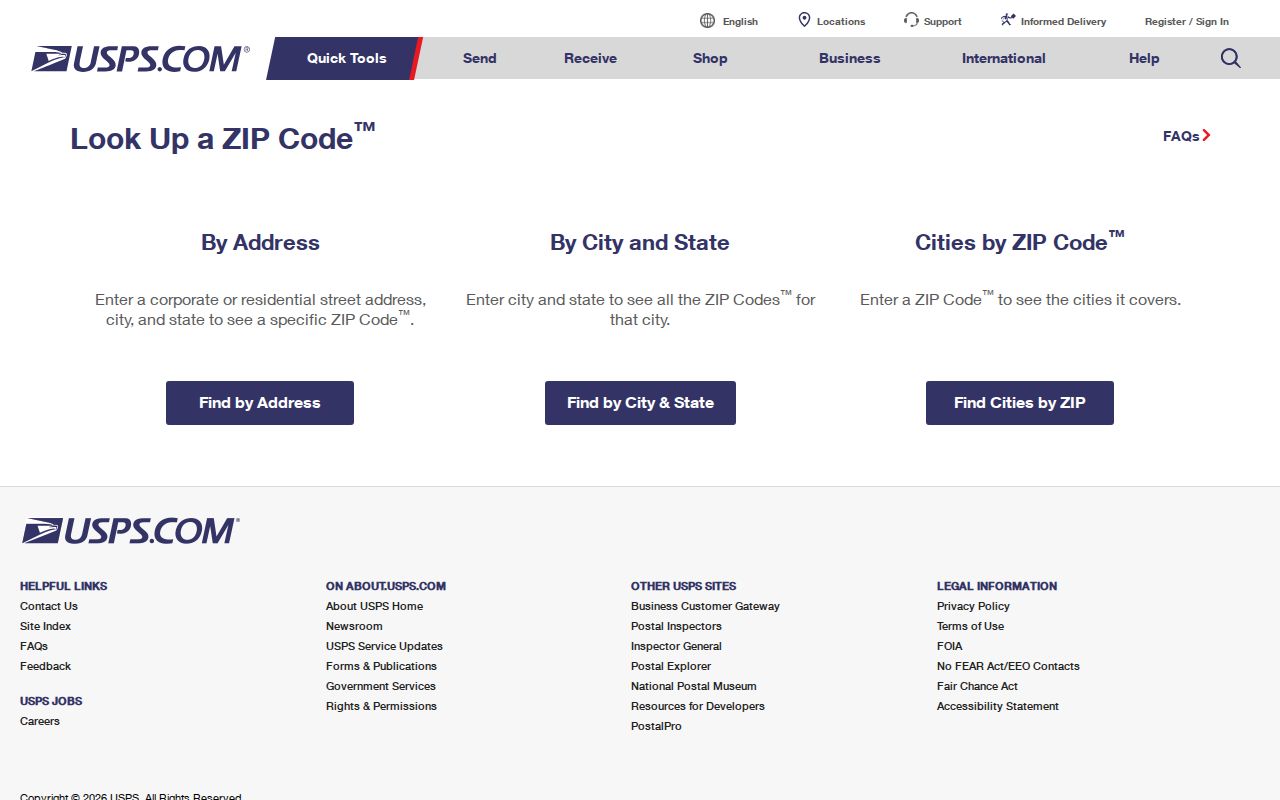
The lookup confirms postal delivery information. It does not decide whether the parcel is within the Decatur corporate boundary or whether Morgan or Limestone County holds the deed. Follow it with the city GIS and county parcel source.
Old locality names also need care. New Decatur incorporated in 1887, took the name Albany in 1916, and merged with Decatur in 1927. A historic directory, deed, or map may use one of those earlier labels even though the site now carries Decatur mail. Search the era's place name as well as the present ZIP.
Decatur ZIP and City Boundaries
Postal lines and Decatur's corporate boundary answer different questions. USPS selects preferred mailing names and routes. Decatur GIS shows corporate status. A county parcel map determines which county roll holds the land. That distinction matters because Decatur spans Morgan and Limestone counties. City clerk, municipal court, police, permit, zoning, and code records cover the city, but deeds, assessments, probate, circuit court, elections, and county jail records follow the county.
The mismatch grew more visible as the city expanded. Decatur grew from under 35 square miles before 1984 to more than 59 square miles, or 37,984 acres, by 1998. That was about a 70 percent increase. Annexation can pull a parcel into Decatur without changing its preferred Hartselle, Tanner, or Trinity postal label. The reverse caution also applies: Decatur mail does not prove a parcel is incorporated.
- ZIP code
- A USPS delivery code. It is not a legal city boundary.
- ZIP+4
- The basic ZIP plus four digits that narrow mail to a smaller delivery segment.
- PO-box ZIP
- A code used for post office boxes rather than a mapped residential neighborhood.
- Unique ZIP
- A code assigned for special high-volume or institutional mail handling, not normal neighborhood delivery.
- Carrier route
- A group of delivery stops served by one postal route. It does not equal a precinct or parcel district.
Decatur ZIP Records by Custodian
A verified address can point to several records, but the county decision comes first. In Morgan County, the Revenue Commissioner's parcel search supports owner, address, and parcel modes. The Morgan GIS supplies the map view. Morgan Probate records deeds and estates, and the county Archives holds older maps, voter and census material, directories, probate files, and newspapers. Limestone-side Decatur uses a different Revenue system, ArcGIS service, Probate portal, and Archives in Athens.
| Question | Decatur Source | What to Verify |
|---|---|---|
| What is the mailing ZIP? | USPS lookup | Standard address and current delivery code |
| Is it in the city? | Decatur GIS | Corporate boundary and ZIP overlay |
| Which county holds the parcel? | City and county GIS | Morgan or Limestone boundary |
| Who is the assessed owner? | County Revenue portal | Situs, mailing address, parcel, and tax year |
| Who holds title? | County Probate office | Legal description and recorded instrument |
These sources may disagree without any source being wrong. A parcel can have a Decatur situs, a Trinity mailing label, an owner mailing address in another state, and a Limestone County deed. Record each label for what it means.
Decatur ZIP Records Requests
When a public portal cannot answer a ZIP-based question, ask the office for a narrow record rather than a broad resident list. Alabama's Open Records Law gives Alabama citizens a right to inspect or copy nonexempt public writings. Act 2024-278 added a current process: standard requests should receive acknowledgment within ten business days and a substantive response within fifteen business days after acknowledgment. Time-intensive work can require an estimate and prepayment.
The state's public-record reform summary explains the change.

The reform supplies a request route, not a command to create a new ZIP roster. State the address, ZIP, date range, record type, and likely custodian. Judicial files follow court procedures instead, and protected voter details remain withheld. A precise parcel, permit, deed, or map request is more likely to reach an existing record.
Note: Recheck the ZIP, city line, county, and custodian before paying for copies or asking staff to search.